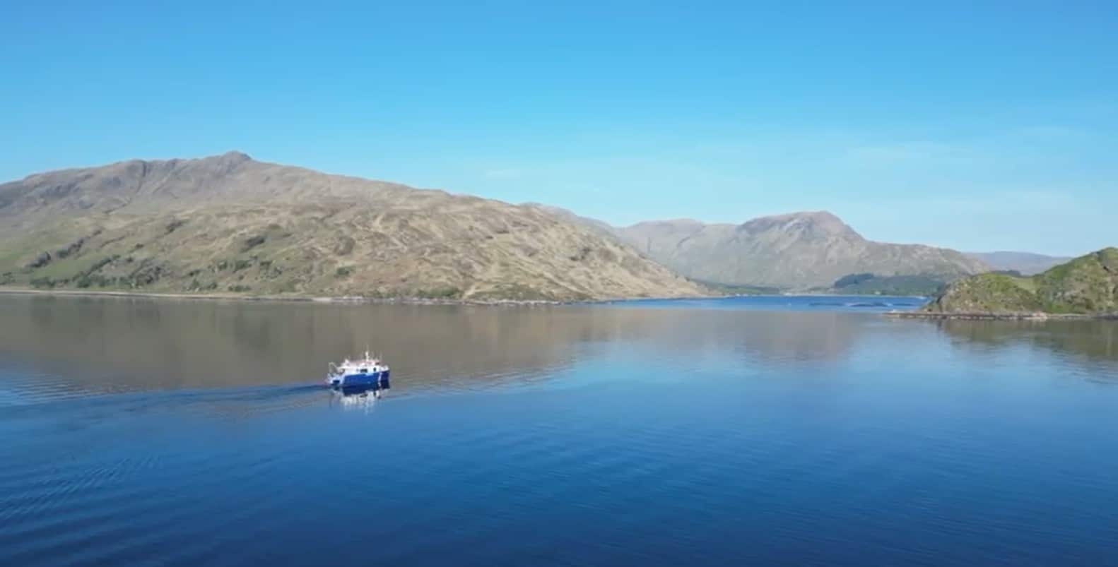
Innovatum/ S4 Bag pUXO Twin Cable Route Survey Project
A long standing S4 client awarded Innovatum/ S4 a NW Scottish Highlands cable pre lay pUXO survey for two 7.5km cable routes on a Scottish Loch from 2m to 75m LAT water depths.
One of the clients MCA Cat 2 18m survey catamarans was mobilised for 12hr operations to conduct landing/ shore end Side Scan Sonar infill surveys and pUXO surveys of the 50m corridors for both cable route lengths.
The pUXO survey was conducted with a dual G882 magnetometer (with depth/ altimeter digital sensors) TVG (Transverse Gradiometer) at a tight 2.5m survey line separation for the EOD/ ALARP requirements and post a USBL calibration in field and SVT/ SIT with 25 and 50Kg surrogates.

The survey vessel was mobilised locally in NW Scotland with an Innovatum owned survey & navigation/ positioning suite comprising, 2 x DGPS (Hemisphere VS1000 with RTK/ NTRIP differential and South Galaxy Wireless RTK with separate/ redundant NTRIP differential), Ixsea Octans Nano Gyro/ MRU, QINSy online survey & navigation suite with 2 x 6TB RAID/ NAS, Geophysical suite (Discover & MagLog), full PC/IT & networking suite across 2 x 19” rack mounts with full backups, Helmsman remote suite, Starlink Marine communications, Applied Acoustics Nexus 2 USBL system with Micro Beacons (moonpool pole mounted), plus a hired in spread comprising, Seatow 500 oceanographic electric winch, Edgetech FS4125 SSS, Valeport SWiFT SVP, cable counter/ 14” sheave and the above TVG system.
A 2-man onboard survey team of PC/ Snr. Surveyor and Snr. Geophysical Engineer undertook the daily operations and QC, and were supported for the mobilisation by the Survey PM and technical Mobilisation Engineer and during operations by the same office personnel, including a remote Project Surveyor.
All data processing & interpretation was supported by Ocean Geophysics (OG), based in Thailand with data uplinks via our Starlink suite and Jetstream for all further QC, coverage checks, data quality and processing/ interp and SVT support. With the 12hr time difference and 12hr working this provided for an excellent service and data drop back to Innovatum/ S4 for next day prior planning and any later project infill requirements.
OG providing the geophysics and interp report aspects, with Innovatum/ S4 undertaking the operations/ final report and final SVT reporting.


All final SSS mosaics/ tifs & coverage, STL (Survey Target List), TVG data sets/ tifs (coverage, residual, altitude etc.) were provided during operations and post vessel demobilisation in a timely fashion to our client and the EOD for ALARP/ assessment, as well as later 2025 cable crossings/ mattressing and ROV support (Innovatum providing Cougar ROV support for that later works) preparations and cable lay operations, conducted by our client.


The SSS/ pUXO survey lasted for 20 days and was conducted in a challenging location and environment with 2-75m water depths, a steep 40-degree slope to both cable routes in the south, challenging rock outcrops and boulders in the southern landing shallows, coupled with the confluence of a second loch affecting stern tow feathering/ vessel steerage and line turnarounds. The weather throughout was superb and very unlike NW Highlands in the month of May.


Our client was extremely happy with both the survey data acquisition and quality, as well as the final reporting content and survey data delivery quality for their later works, as stated above, and for their EOD and end client acceptance.


