Geotechnical Survey & Positioning Support Provided in NW Scotland
Having worked together with a fellow East Anglian based Geotechnical company on collaborative past projects as S4, Innovatum/ S4 were invited to support them on a Geotechnical work program recently in NW Scotland on an inter-island cable route, comprising 20 x CPT and 20 x VC locations. The geotechnical company chartering a vessel for these operations and requesting our S&P support.
Water depths ranged from 15m to 90m+ along the cable route, whereby accurate USBL subsea positioning of the units to a 2m tolerance had to provided and proven/ evidenced.
Post the mobilisation in a NW Scotland port, a USBL 4 Cardinal Point calibration was performed 1hr from the Mob port in 80m WD within a local loch. Post the accurate survey & positioning setup and alongside verifications, the full system provided for 1.39m accuracy (spin and sail away tests undertaken to further evidence the C-O results) and SD’s of 0.4m Easting, 0.7m Northing.
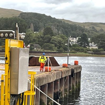
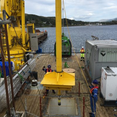
A 40m DP MPSV was mobilised for 24hr operations and whereby we also were requested to provide a multi skilled Survey/ Geotechnical Pary Chief/ Snr. Surveyor in a dual role for our client and ourselves and a Snr. Surveyor on the opposite shift, to cover the 24hr operations. This due to the vessels POB constraints upon the charterer (our client), but whereby due to our past collaborative work with one another, this was a workable and positive solution for both parties.
During mobilisation, the Survey PM and Mobilisation Engineer attended in addition to the two operational survey contractors. All alongside checks and verifications were performed for the positioning systems as well as quay bollard position derivation via RTK Field Translocation (with a tertiary RTK system) for DGPS checks/ verifications.
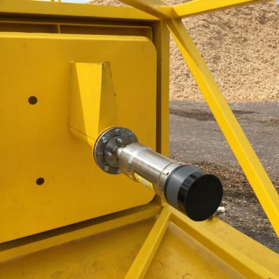
Within the vessels offered survey office/ room and the Geotech control shack, an Innovatum owned survey & navigation/ positioning suite comprising of the following was mobilised, 2 x DGPS (Hemisphere VS1000 DGPS Compass with RTK/ NTRIP differential (and long baseline for 0.1 degree accuracy gyro input) and South Galaxy Wireless RTK with separate/ redundant NTRIP differential), Kongsberg Simrad Seatex MRU5, QINSy online survey & navigation suite with 2 x 6TB RAID/ NAS, full PC/IT & networking suite across a 19” rack mount with full backups, Helmsman/ Bridge/ DPO and Geotechnical Control Shack remote screens, Starlink Marine & 5G Router communications, Applied Acoustics Nexus 2 USBL system with Micro Beacons (CPT and VC mounted with spare) (Vessel moonpool pole mounted), plus a Valeport SWiFT SVP.
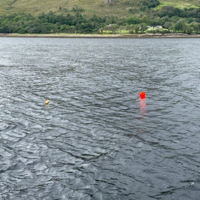
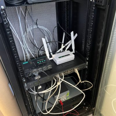
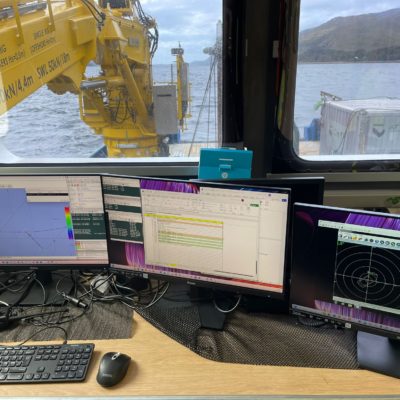
The survey team provided high accuracy positioning to the CPT and VC deployments throughout and with dual role PC/ Snr Surveyor supporting our client with end client meetings and communications.
A final factual navigation report was supplied to our client along with all Innovatum/ S4 positioning data sets and logs.
The project was completed successfully after 10 days.
At time of writing, Innovatum/ S4 had been awarded a further S&P support scope with the same geotechnical client in Q4 2025, for a nearshore cable route in NE Scotland (geotechnical CPT & VC and benthic support (day grab and Drop Down Camera/ video suite)) from a multicat solution (12hr operations).
